The Lemosho Route is widely regarded as one of the most scenic and rewarding ways to climb Mount Kilimanjaro. With fewer crowds, gradual ascent, and diverse ecosystems, it’s ideal for travelers seeking adventure, nature immersion, and authentic experiences. Hike through rainforests, Shira Plateau, alpine moorlands, and glaciers, encountering wildlife, exotic plants, and breathtaking vistas.
Description:
Your Kilimanjaro adventure begins with a scenic transfer from your lodge to Londorossi Gate, where park officials will handle registration and brief you on safety and trekking protocols. The journey from Arusha or Moshi to Londorossi is itself beautiful, passing through lush foothills and rural villages, giving you a first taste of Tanzania’s diverse landscapes.
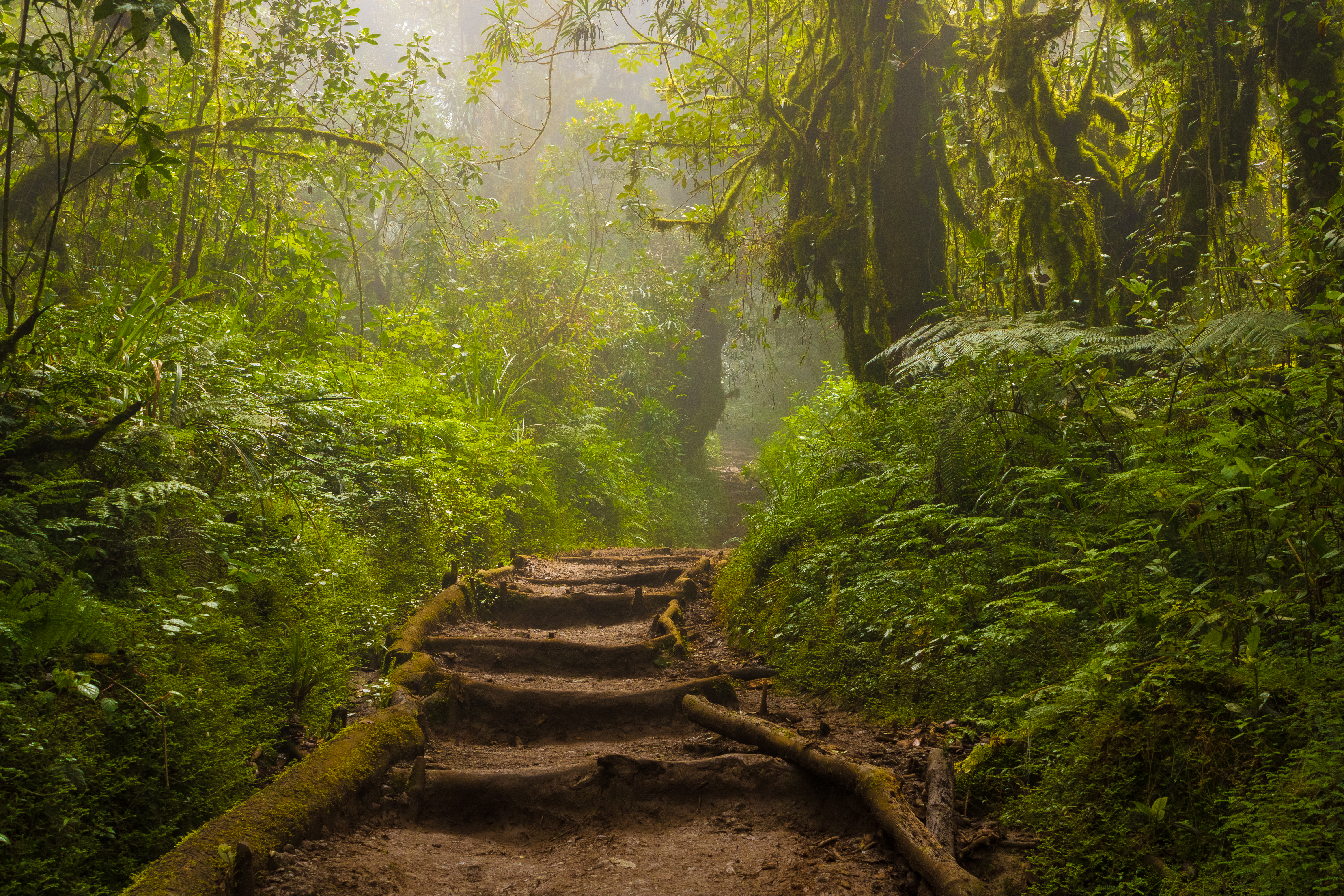
From Londorossi Gate, step into the dense tropical rainforest of Kilimanjaro’s western slopes. The trail gently ascends through towering trees, moss-covered trunks, and colorful orchids, accompanied by the songs of exotic birds and the rustling of monkeys. Keep your eyes open for black-and-white colobus monkeys, blue monkeys, and small forest mammals, often seen along the way.
Forest Camp, nestled in this pristine ecosystem, offers a peaceful first night at altitude, allowing your body to start acclimatizing gently. The surrounding forest provides a serene environment to relax, listen to the mountain’s sounds, and prepare for the ascent ahead.
Highlights & Experience:
Tips & Advice:

Description:
After a hearty breakfast at Forest Camp, you leave the dense rainforest behind and ascend into the heath and moorland zones. The trail opens up onto the vast Shira Plateau, offering wide, open vistas of Kilimanjaro’s slopes and distant plains. Today is considered an ideal acclimatization day, with gradual elevation gain that prepares your body for the higher camps ahead.
As you hike, enjoy the stunning contrast between lush forest remnants and high-altitude moorlands. Giant lobelias and groundsels tower alongside the path, creating a landscape almost alien in its beauty. Look out for small wildlife such as hares, birds, and occasional colobus monkeys along the trail. The plateau’s open terrain is perfect for panoramic photography and enjoying Kilimanjaro’s grandeur.
Highlights & Experience:
Tips & Advice:
Description:
Today you traverse the heath zone of Shira Plateau, gradually ascending towards the western slopes of Kibo Massif. Picnic lunch is served at Scott Fisher Memorial Camp, offering spectacular views of the surrounding highlands. This day is designed to increase altitude slowly, improving your chances of a successful summit.
Highlights & Experience:
Tips & Advice:
Description:
Leaving Moir Camp, you enter the alpine zone. The trail passes Lava Tower (14,300 ft / 4,360 m) before descending into Barranco Valley, with dramatic volcanic landscapes. The descent after Lava Tower helps with acclimatization before the challenging Barranco Wall climb tomorrow.
Highlights & Experience:
Tips & Advice:
: Barranco Camp Kilimanjaro, Lemosho Route alpine trek, Lava Tower hike, Tanzania trekking
Description:
Climb the Great Barranco Wall—one of the most scenic parts of Kilimanjaro. After conquering the wall, the trail descends slightly into Karanga Valley, offering views of glaciers and high ridges before reaching Karanga Camp, a strategic spot before the summit push.
Highlights & Experience:
Tips & Advice:
.jpg.jpeg)
Description:
Ascend to Barafu Camp, the base for your summit attempt. The terrain becomes rocky and barren, with incredible views of glaciers. Summit briefing and safety instructions are provided, including oxygen use and Gamow bag training.
Highlights & Experience:
Tips & Advice:
.jpg)
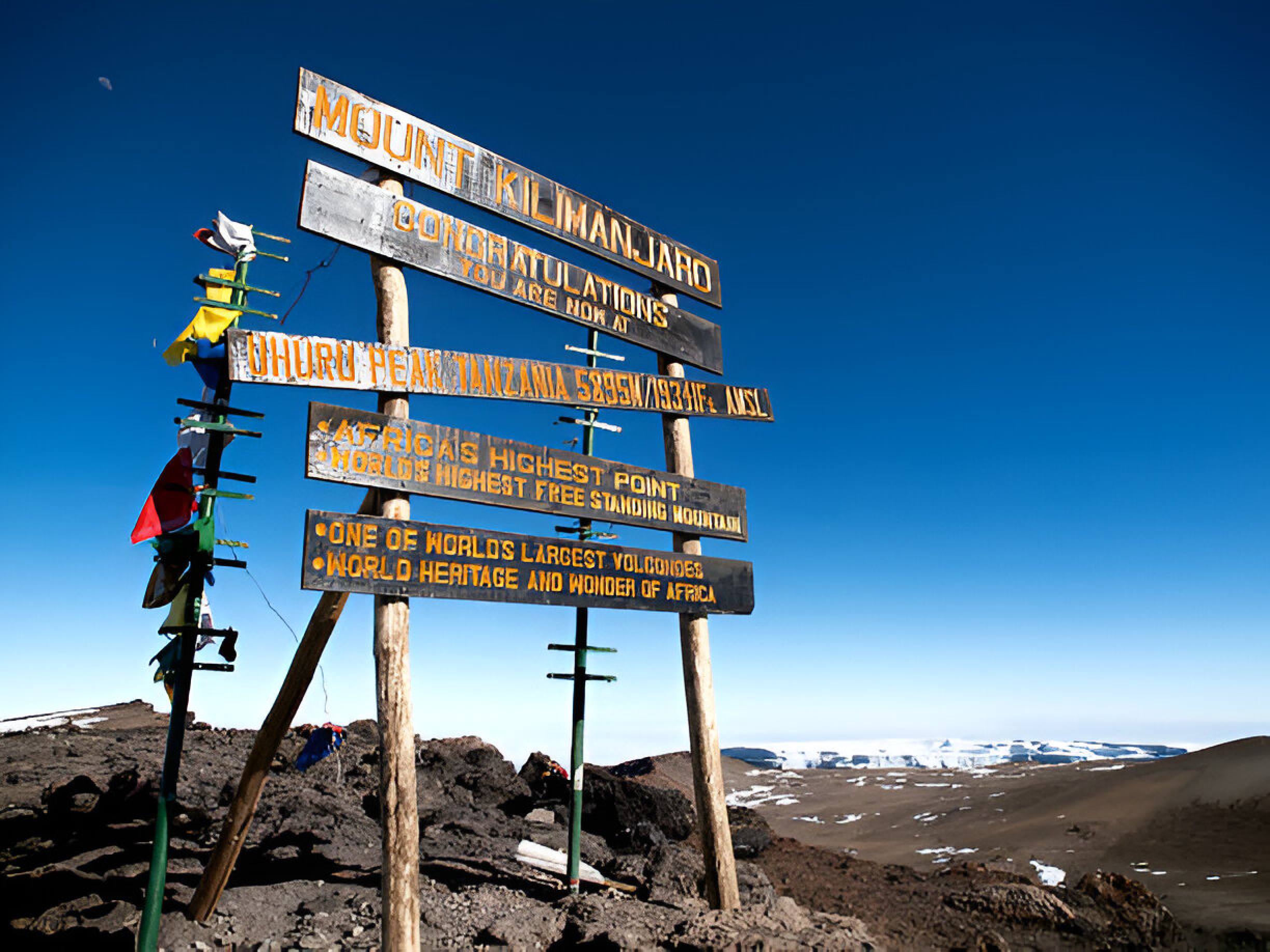
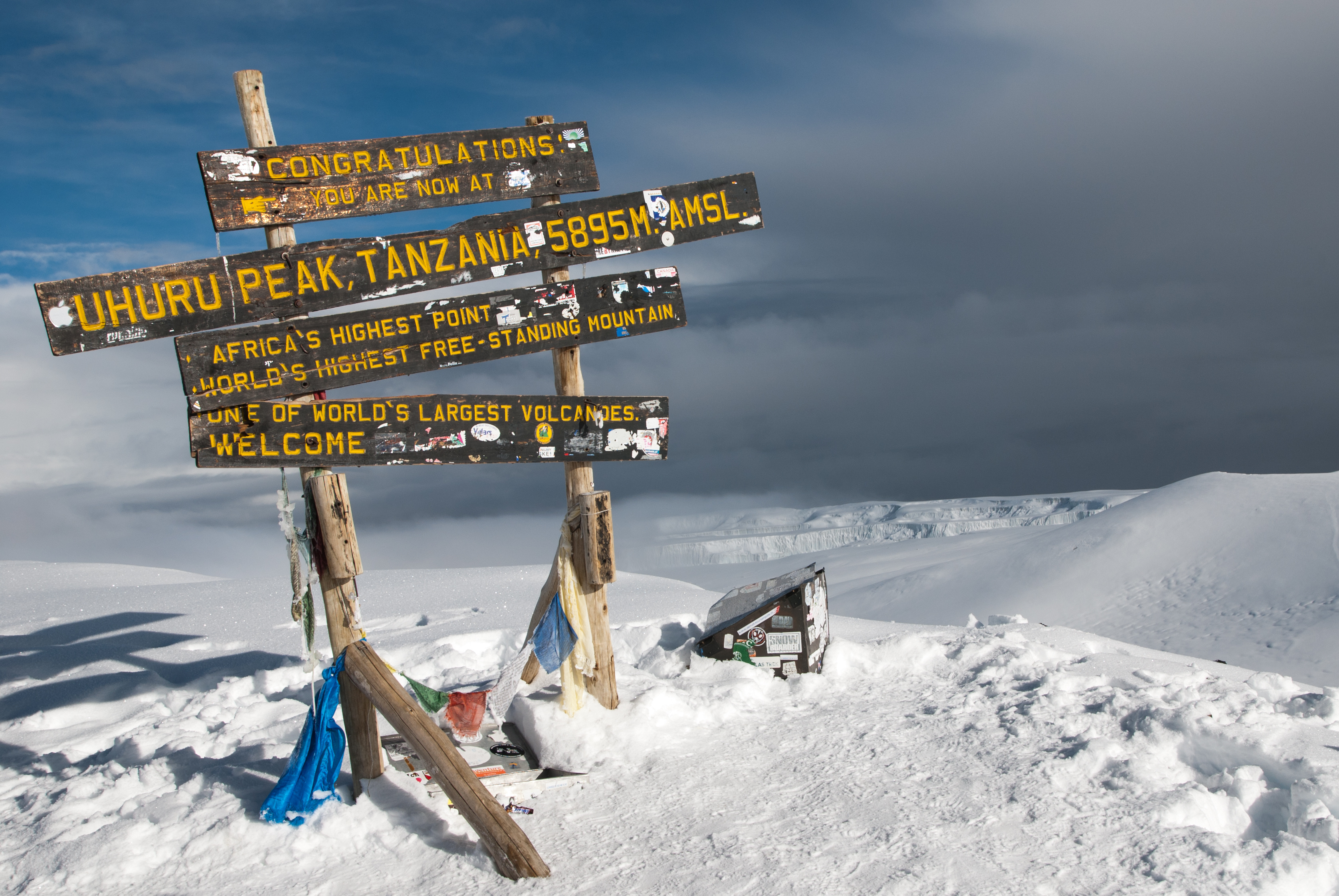
Description:
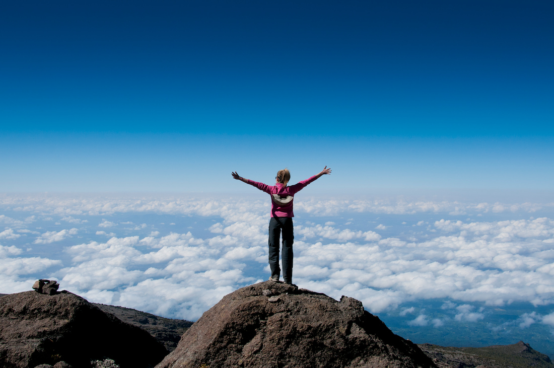
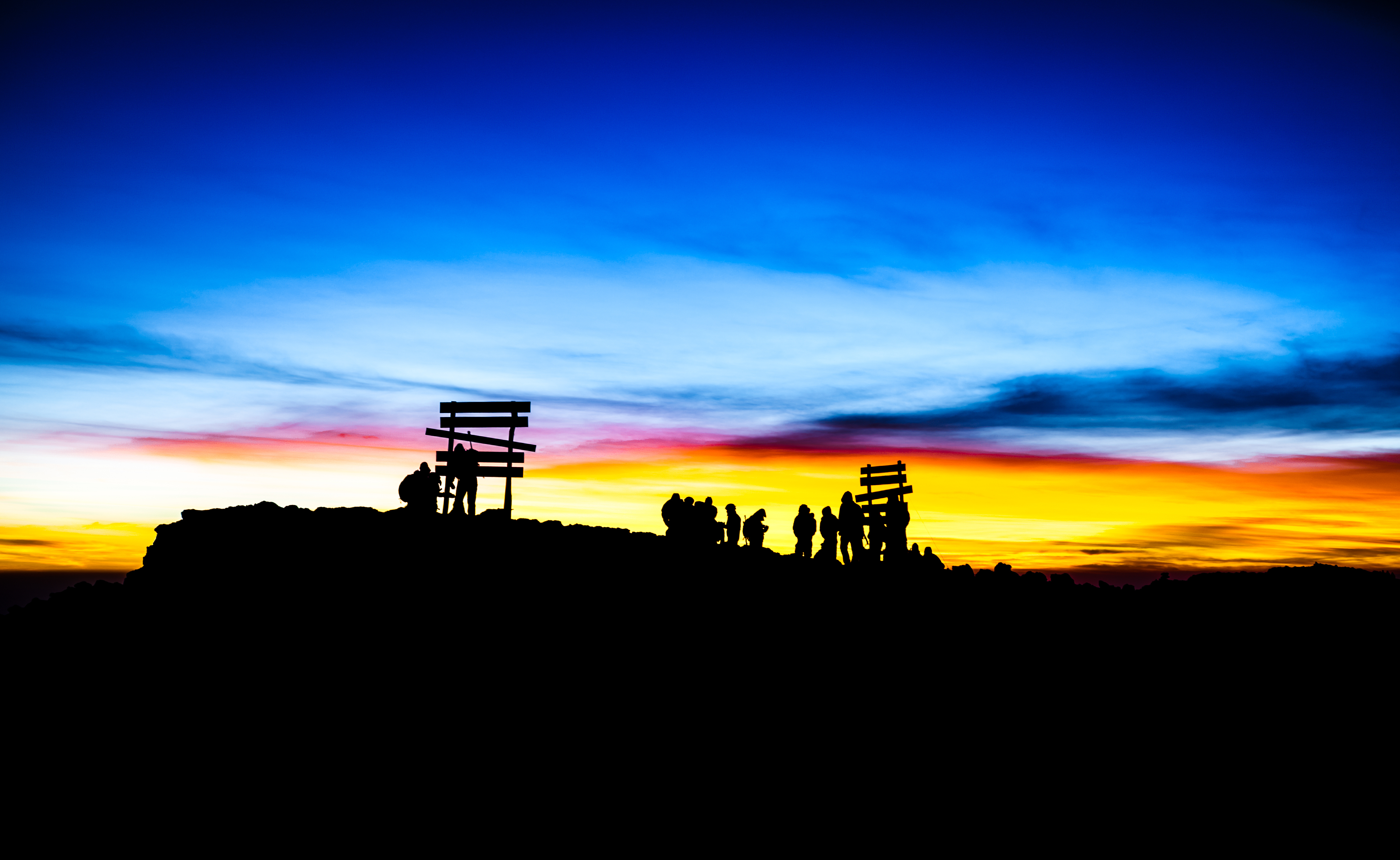
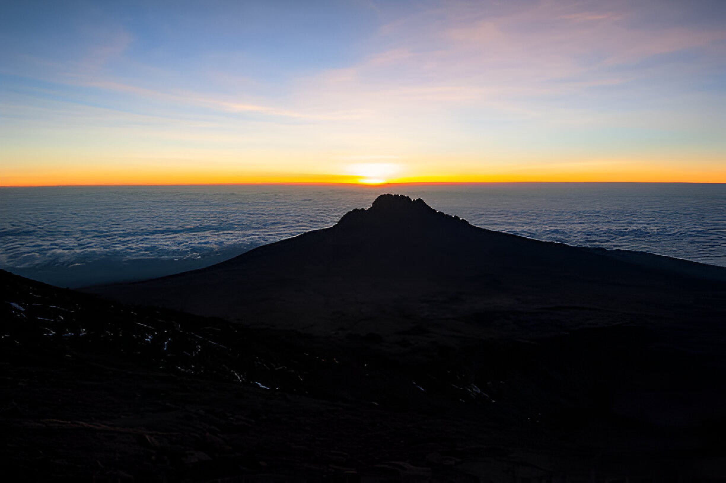
Night trekking begins around 11 PM–midnight. Reach Stella Point, then Uhuru Peak for sunrise. Descend to Barafu Camp for lunch, then continue to Mweka Camp for overnight rest.
Highlights & Experience:
Tips & Advice:
Description:
Complete the descent to Mweka Gate, enjoy a farewell lunch, and transfer back to your lodge in Arusha or Moshi. Reflect on your diverse trekking experience, from rainforest to glaciers, and celebrate your Kilimanjaro achievement.
Highlights & Experience:
Tips & Advice:
Start: 13 Jul 2026
Seats left: 49
Duration: 8 Days
Our team will contact you shortly